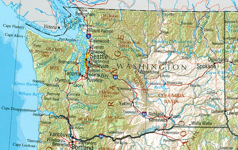
So doing a bit of research on my book and my guy D.C. Corbin was involved after he sold my RR in a new project from Spokane to the mines of Rossland B.C. The road from SpokaneWA to Northport WA was called the Spokane Falls & Northern. When he finally got permission to enter Canada he incorporated the Columbia & Red Mountain Railway (the Red Mountain Road or Railway). Its sole purpose was to steal ore traffic away from the Canadian Pacific. Both Railroads reached the area and eventually both served it. The SF&N and C&RM were sold to Great Northern.
At any rate as I was doing my research I came across this map someone drew of the tracks in Rossland. For those that don’t know Rossland it is a tiny town built on the side of Red Mountain. Not really a place for a train but they did it. This was standard gauge. Anyway in looking at the map this would be a fun layout and could serve as a point to point or a loop. Both sets of tracks GN and CP could be looped together. I have included the link to the place where I stole the map which is a little three page write up on it that also has a picture of the crazy tracks.

http://heritagerossland.com/Portals/0/revised2-Red%20Mountain%20Railway%20Bed.pdf


